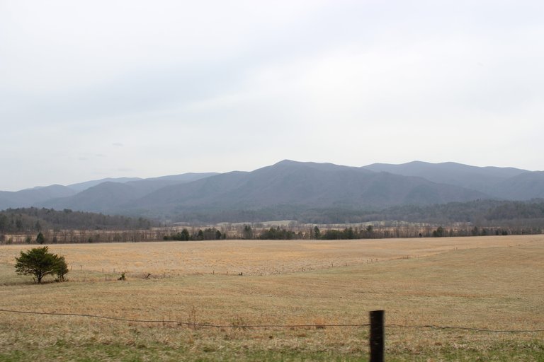
Reading Your Map (and Contours)
Hunting a relatively unknown area can be both exciting and frustrating because of the same reason—the idea of discovering untouched areas. Packing a climbing stand and bare essentials as well as carrying them into a new area is a test of your primal skills as a hunter. When hunting in new geographical regions, hunters look for the obvious signs—giant rubs, scrapes and worn trails. These are classic indicators of activity that should not be disregarded and are rarely left untouched. However, what tends to be pushed into the background when hunting new territory is understanding the contours of the land. The contour of the land, especially in mountainous areas, dictates deer movement. This is no secret to hunters.
Follow the Water
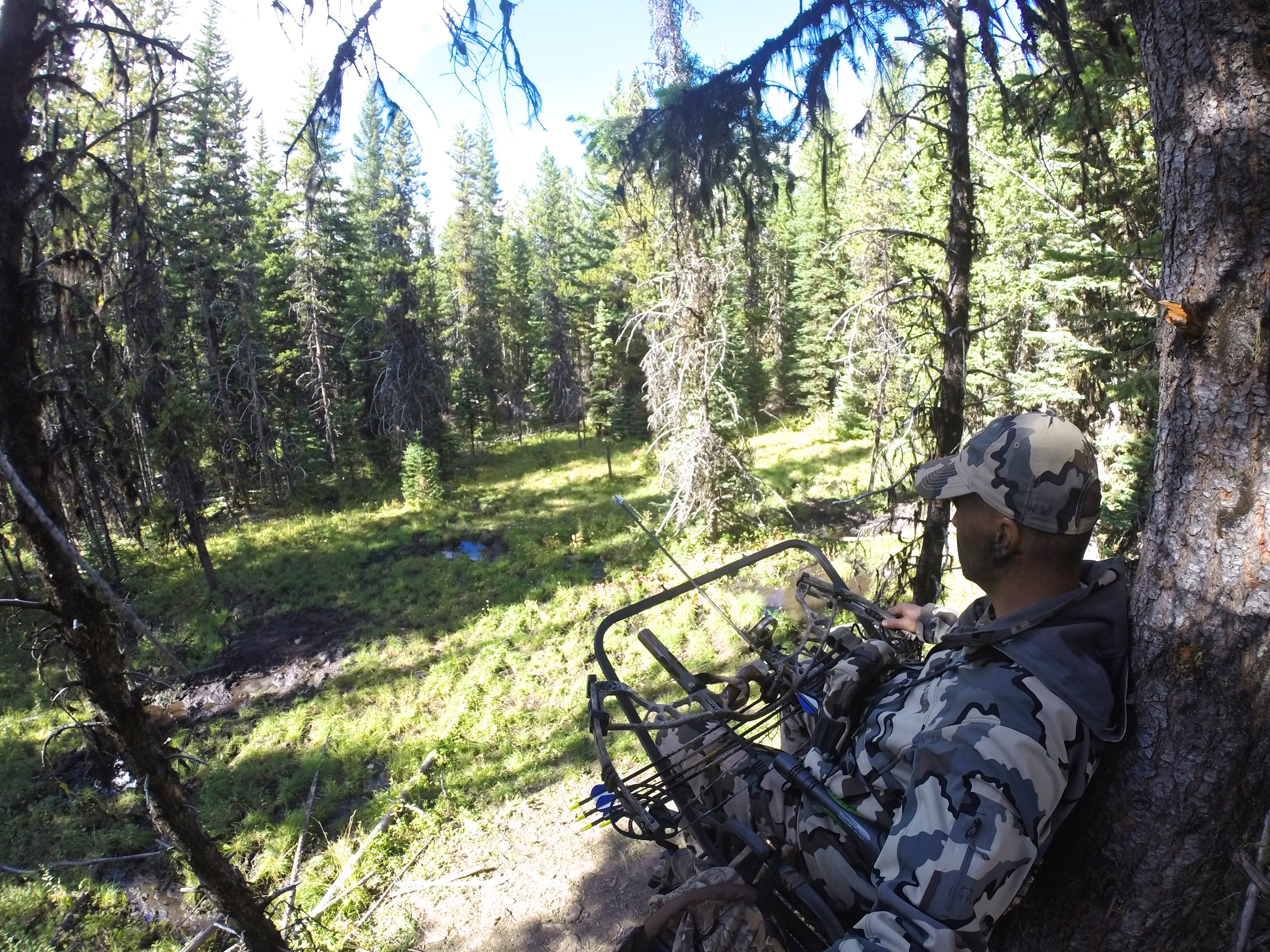
Paying close attention to ridge contours was something I should have noted recently on a cold October morning as I watched a dozen deer skirt my range at just over 40 yards. Although I was familiar with the area, I did not truly understand how the deer would move through the land. As luck would have it, I watched 12 deer follow the runoff drainage down the mountain, and then turn right, along the natural curve of the bench I was hunting, only to dump off the bench and into the thicket. This so-called pinch point was something I should have instinctively understood and used to set my ambush. Here were two natural land contours to note that could have helped increase my chances of a successful harvest.
Drainages funnel or force deer to follow its path until the first available turn off in the couture of the land.
Drainages created by natural elements are an excellent travel corridor for deer. Usually steep in the middle from past erosion, drainages funnel or force deer to follow their path until the first available turnoff in the contour of the land. In one of my favorite books, Mapping Trophy Bucks by Brad Herndon, he explains that deer will skirt the heart of a drainage due to its potential steep grade. That morning was no exception. The deer were forced to follow the edge of the steep drainage until they reached the turnoff for the bench I was sitting on. However, I was set up too far into the bench, and the deer followed the natural curve of the land, skirting me and staying just out of bow range. The moral of the story is to look for drainages and places where the land naturally lets deer enter and exit with the most ease.
...and Get Back in the Saddle
We have all heard the word "saddle" before, but why are they considered good for deer hunting? Saddles are defined as a low point on a ridge such as a divide or a pass. They tend to be the dividing point between two larger geographical landmarks. Saddles allow ease of travel for deer. My favorite saddle location connects two giant basins. For deer to transition, they must walk within range of my stand. For the past three years, my father has had a chance at trophy bucks from our saddle location, and all three have gotten away. The easiest way to identify saddles is to find where multiple ridges converge at the lowest point.
Benches are important places to note while scouting and hunting, as they can provide a much-needed travel corridor for game.
A bench is not referenced as a primary or a formal topographical element in general hiking literature. However, it is a widespread reference point while hunting. A bench can be defined as a flat (or at least comparatively flat) area that exists on the rise of a ridge. A ridge will climb and climb, flatten out to a bench temporarily, and continue to climb to the ridge peak. Benches are often found midway up a ridge side, and they are important places to note while scouting and hunting, as they can provide a much-needed travel corridor for game. Often a bench will be utilized because of its placement on a hillside or mountain for game to catch rising and falling thermals. This is a common practice among game animals and ought to be noted when making your approach and your ambush.
Hunting new areas will push your skills as a woodsman. It opens up new opportunities, especially on public land across the country. It is a testament to your skills and wit to be able to successfully hang a stand or plan a backpack hunt in a new area based off of how well you read a map. So, break out those topographical maps, dust off your climber, pack your bags and hit the woods.